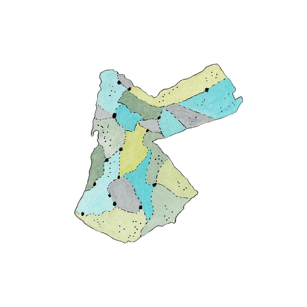
Illustrated Maps
In this series, you can find my illustrated maps, featuring counties and foods from the Levant, the Mediterranean, the Middle East and North Africa. These maps are created with a mixture of traditional and digital techniques, and include analogue watercolours, gouaches and other mediums.

